What is EOS Data Analytics?
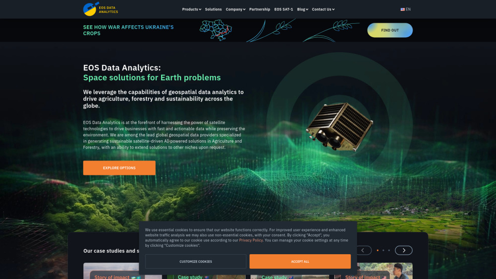
EOS Data Analytics EOSDA is a leading provider of geospatial data analytics using satellite-driven AI solutions for agriculture and forestry. Founded by Dr. Max Polyakov, EOSDA uses satellite technology and artificial intelligence to give businesses fast and useful data while supporting environmental sustainability. The company offers digital platforms that combine data from multiple sources for better decision-making.
Key Features
EOSDA provides AI-powered satellite imagery analytics for agriculture and forestry. Their digital platforms combine satellite data, AI, and proprietary algorithms for actionable insights. Products include crop and forest monitoring and custom geospatial solutions for data-driven decisions and sustainability.
Crop Monitoring: Real-time field analytics, crop health tracking, and weather forecasts.
Custom Solutions: Tailored solutions like yield prediction, crop classification, and field boundary detection.
High-Resolution Imagery: Access to high-resolution satellite imagery from various sources.
Forest Monitoring: Remote assessment of forest health, deforestation/reforestation tracking, and burn area estimation.
Use Cases
Precision Agriculture: Farmers can remotely monitor crops, soil, and weather.
Forestry Management: Companies can track forest health, detect illegal logging, and plan sustainable harvesting.
Insurance Risk Assessment: Insurance companies can assess agricultural risks and verify claims.
Environmental Monitoring: Researchers can track ecosystem changes and monitor projects.


