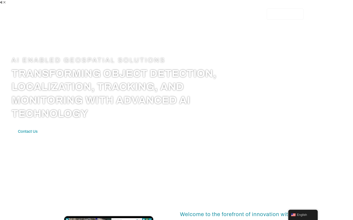
FlyPix AI is an innovative geospatial technology platform that leverages advanced AI technology to transform complex imagery into actionable, geo-referenced insights. Whether tracking environmental changes or optimizing urban planning, FlyPix AI 's AI-driven approach delivers unparalleled accuracy and efficiency. The platform supports object detection, location, tracking and monitoring and is suitable for multiple industries including government, construction, renewable energy, agriculture, risk management, oil and gas, forestry, smart cities, port operations and mining, among others.
Demand group:
" FlyPix AI is suitable for enterprises and organizations that require efficient and accurate geospatial data analysis, especially professionals in the fields of urban planning, environmental monitoring, agricultural management, risk assessment, etc. It helps users start from Gain rapid and powerful insights from geospatial data to improve decision-making and operational efficiency."
Example of usage scenario:
Governments use FlyPix AI for waste and debris detection, road and pavement inspections.
The construction industry utilizes the platform for on-site inspections and progress monitoring.
The renewable energy sector monitors the infrastructure of solar and wind energy installations with FlyPix AI .
The technology is used in agriculture and agriculture for crop scouting, disease detection and livestock management.
The oil and gas industry uses FlyPix AI for oil spill detection and infrastructure monitoring.
Product features:
AI-powered object detection and localization: Detect, segment, and localize objects and regions using a library of AI models or custom models.
Detailed Object Analysis: Gain insights into object properties such as type, area, size, and more.
Change and anomaly detection: Monitor area changes over time to quickly identify unusual patterns in aerial imaging.
Dynamic tracking: Use advanced AI algorithms to track changes in object properties or positions.
Custom use cases: Tailor solutions to meet the unique needs of a specific industry.
User-friendly interface: Provides a best-in-class user experience that makes visualizing and reporting on geospatial data easy.
Usage tutorial:
1. Visit the FlyPix AI website and register an account.
2. Choose the appropriate pricing plan based on your needs.
3. Use FlyPix AI ’s AI model library or create a custom model to detect and locate targets.
4. Conduct detailed object analysis to understand the object’s type, area, size and other attributes.
5. Use change and anomaly detection capabilities to monitor regional changes and identify unusual patterns.
6. Use the dynamic tracking function to monitor changes in object attributes or locations.
7. Customize solutions based on specific industry needs.
8. Visualize and report on geospatial data through a user-friendly interface.
