What is PanoFree?
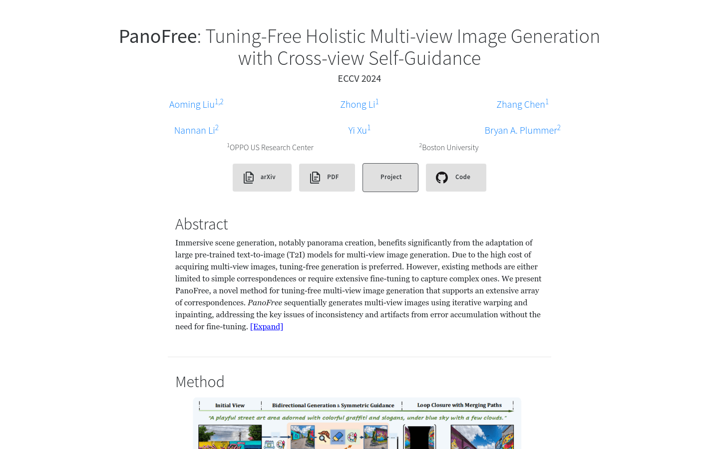
PanoFree is an innovative technology for generating high-quality panoramic images. It addresses issues like consistency and cumulative errors through iterative deformation and coloring techniques. This method reduces errors significantly and improves overall image quality without additional tuning. Compared to existing methods, PanoFree is more time-efficient and uses less GPU memory while maintaining diverse results.
Who can use PanoFree?
PanoFree is ideal for professionals and research institutions who need to generate high-quality panoramic images, such as virtual reality content creators, game developers, and filmmakers. It is particularly suitable for users seeking efficient solutions that do not require complex tuning processes.
In what scenarios can PanoFree be used?
Generating indoor panoramas like bright and airy sunlit rooms.
Creating urban panoramas such as city rooftop bars with panoramic views.
Producing natural landscape panoramas including desert oases with palm trees and shimmering pools.
What are the key features of PanoFree?
Supports various view correspondences without tuning.
Generates multi-view images using iterative deformation and coloring.
Minimizes cumulative errors with cross-view guidance, risk area estimation, and erasure.
Achieves loop closure with symmetric bidirectional guidance.
Maintains scene structure using guided semantic and density control.
Performs well across different types of panoramic image generation tasks including planar, 360-degree, and global panoramas.
More efficient in terms of time and GPU memory usage compared to existing methods.
How to use PanoFree?
1. Visit the official PanoFree website.
2. Read the product introduction and overview of features.
3. Choose the appropriate generation path based on the type of panorama you want to create.
4. Upload or input necessary text descriptions to guide the image generation process.
5. Use PanoFree’s iterative deformation and coloring techniques to generate multi-view images.
6. Optimize the result using cross-view guidance and risk area estimation.
7. Review the generated panoramic image and make any necessary adjustments.
8. Download or directly use the generated panoramic image.

